Stockholm: Odengatan
Tools: b1l4l3l1
Strategies: priority-corridorsintersectionshigh-capacity
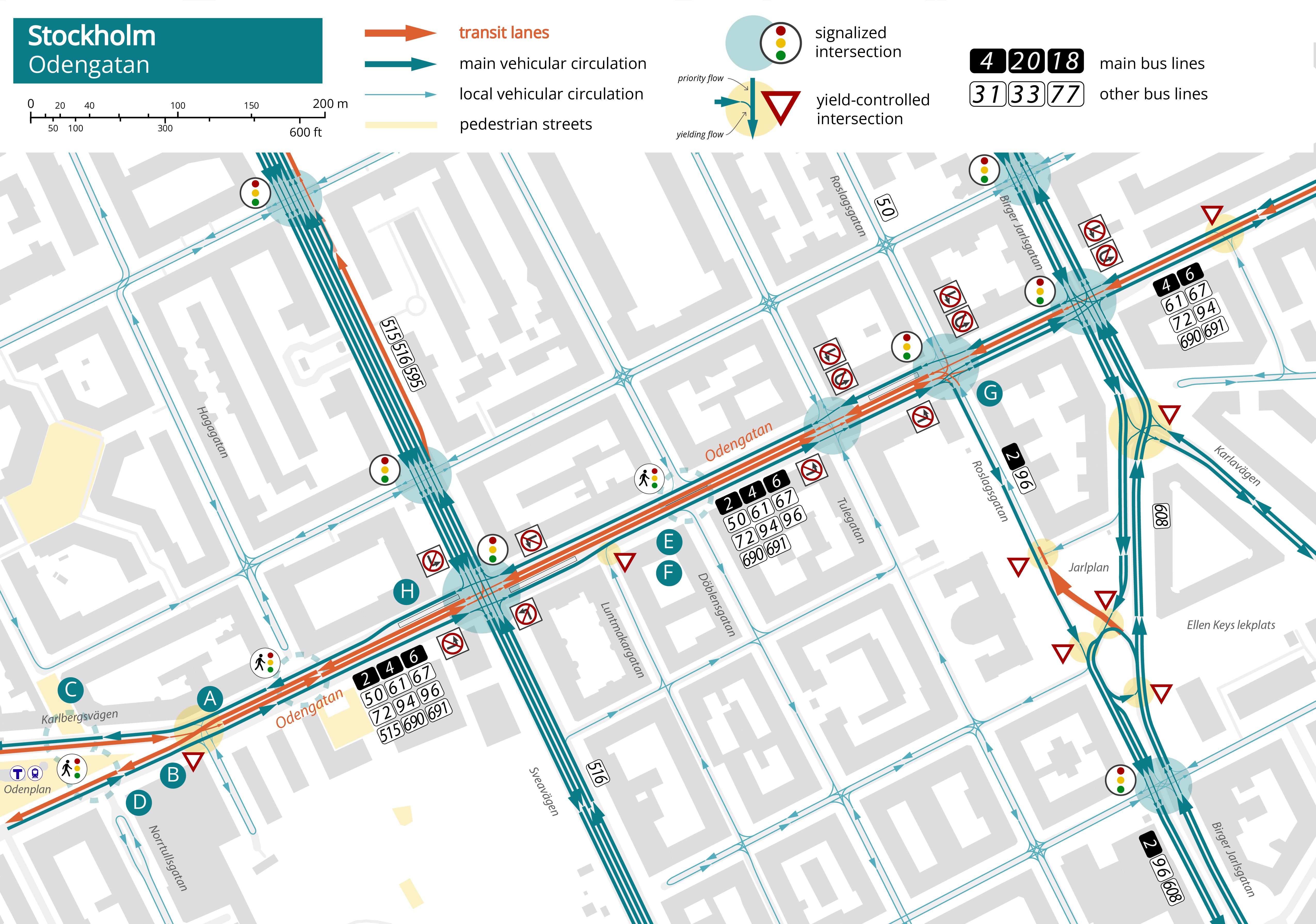
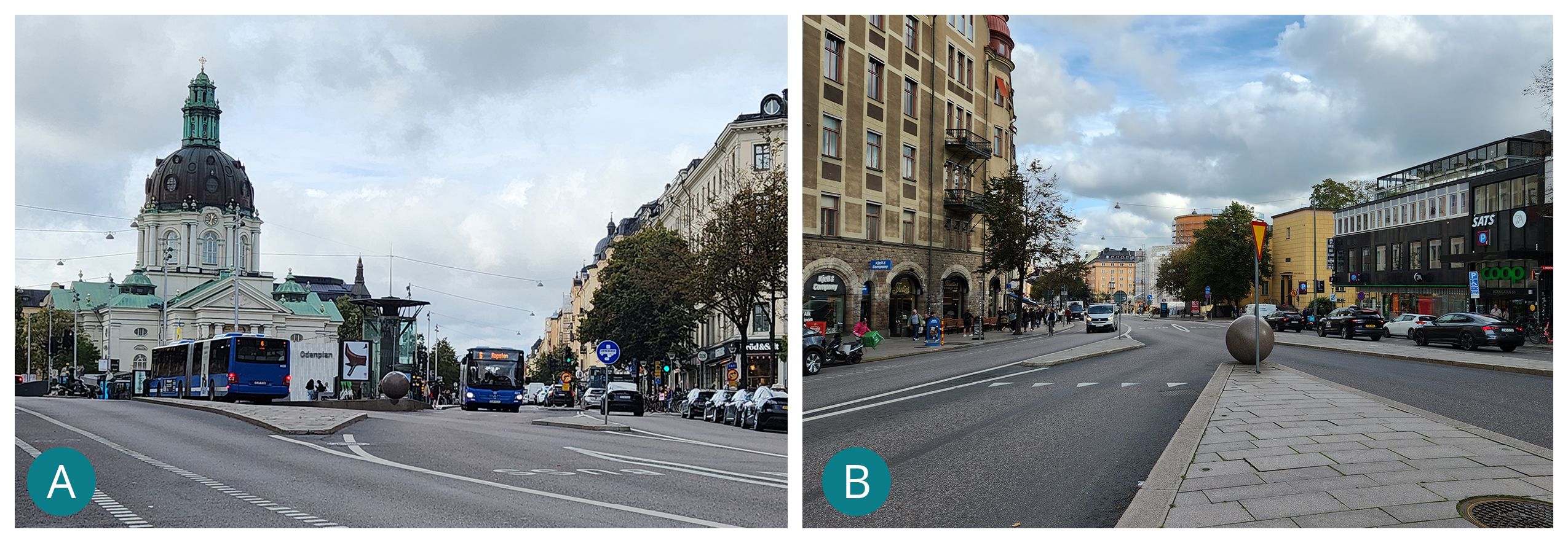
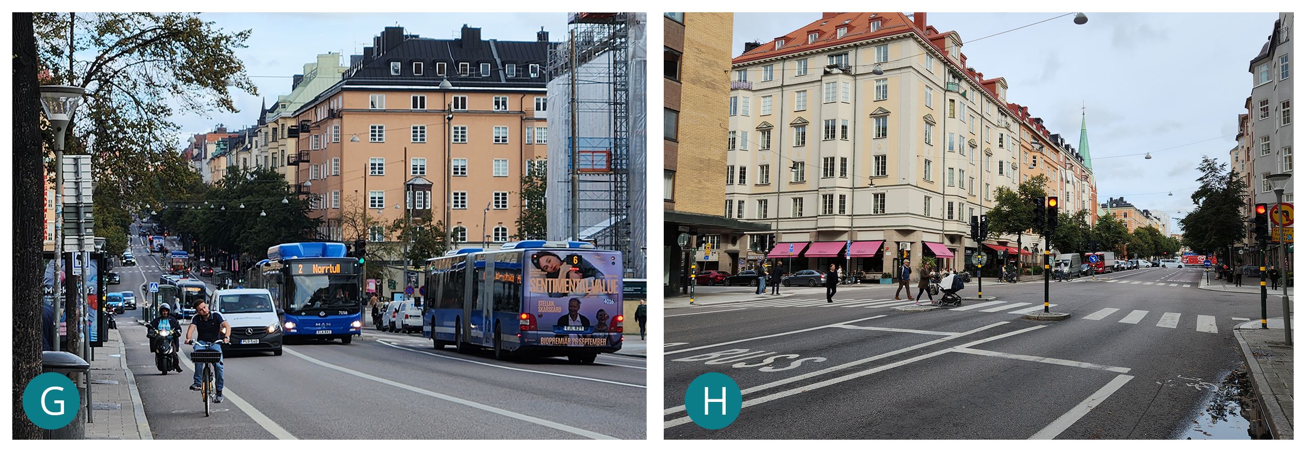
Odengatan is one of the major bus corridors at the northern edge of Stockholm’s central district. Center-running dedicated bus lanes stretching some 850 m from Odenplan, a major transit hub, to Valhallavägen serve 12 bus lines, including three trunk routes, totalling up to 52 buses per hour in each direction during the morning peak. The lanes are bordered by a general traffic lane in each direction and painted bike lanes. At the western end, the center-running lane splits into two contraflow transit lanes at Odenplan, providing a more direct connection to the suburban train and metro stations. The conflict between the two flows is simply managed with a yield. The contraflow lanes on Odenplan are two-lane-wide, and stops are scattered along a continuous sling platform to allow running buses to overtake dwelling buses.
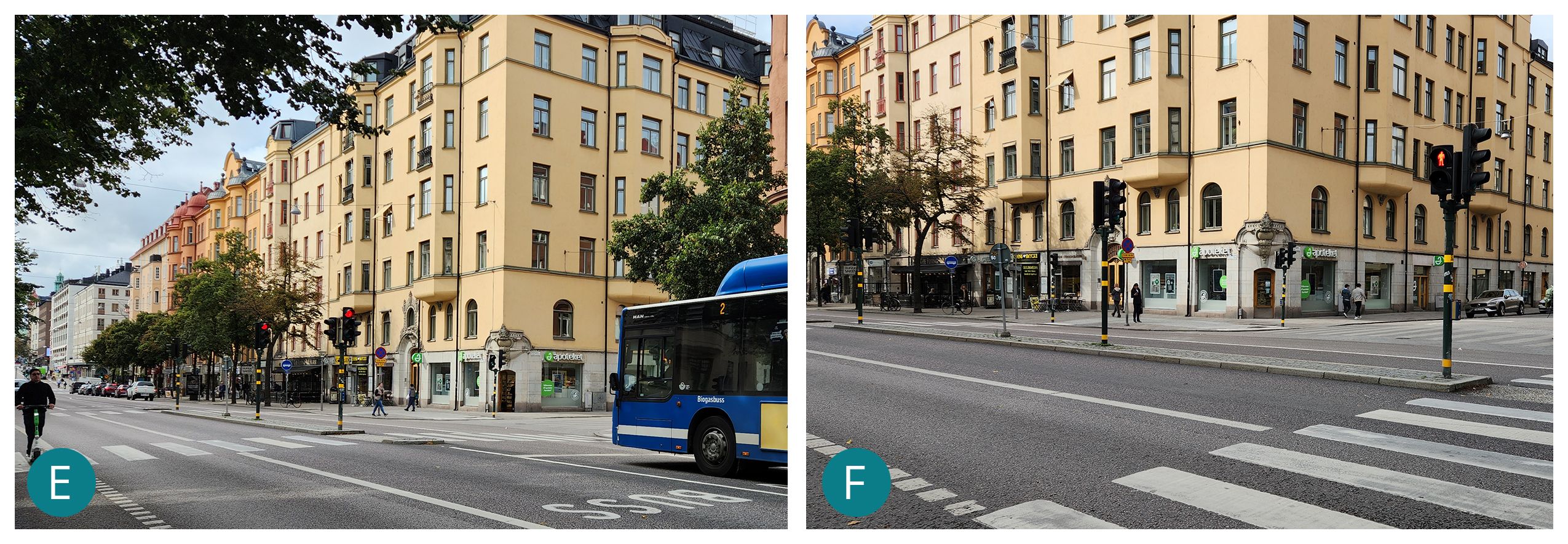
At the intersection between Odengatan and Roslagsgatan, where the east-bound transit lane terminates, buses are allowed to turn left from the center lane during a dedicated phase. Since there is no room to accommodate a dedicated staging lane, left turns are prohibited at all the intersections, while movements to and from minor later streets are often blocked or limited with curbs preventing left turns (right-in/right-out L3) or with modal filters dead-ending (L4) vehicular traffic flows while allowing bike and pedestrian permeability, a very common traffic management strategy throughout central Stockholm.